Before Google Earth, before Rand McNally, even before pirates were arguing over X marks the spot, there was the oldest map of America. And no, it wasn’t drawn on a napkin at a tavern by some overly confident sailor with a rum mustache. It was real, it was hand-crafted, and it told an entire hemisphere’s story with more squiggles and artistic liberties than a toddler with crayons.
Table of Contents:
A Map So Old It’s Practically a Fossil
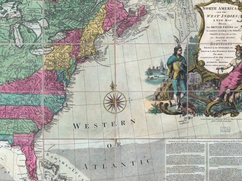
The oldest map of America dates back to around 1507, and it’s called the Waldseemüller map—say that five times fast without sounding like you’re sneezing. Crafted by German cartographer Martin Waldseemüller, this masterpiece was the first map ever to label the New World as “America,” a nod to explorer Amerigo Vespucci. And let’s be honest, “Amerigo Land” doesn’t exactly roll off the tongue, so good call on that one.
Waldseemüller map 1507 – Learn about the oldest map of America and the first map on which the name of America was written.
Waldseemüller didn’t even have a selfie with the continent to work from. He pieced together a massive 12-panel wall map using fragmented reports, half-baked theories, and, presumably, a decent amount of guesswork. Still, the dude got a shocking amount right for someone who had never laid eyes on the Atlantic Ocean, let alone the coastlines of South America.
Half Accurate, Half Imagination, All Awesome
Looking at the oldest map of America today is kind of like reading your high school diary—some parts are impressively insightful, others are so wildly off it’s hard not to laugh. North America is a vague blob, and Florida resembles a detached croissant. South America, however, is shockingly on point. You can’t help but picture Waldseemüller squinting at reports from seafaring explorers while muttering, “This looks like a lumpy shoe, perfect.”
The oldest map of America, Waldseemüller’s map, was the first to depict the New World as a separate continent with a separate ocean to its west.
Despite its cartographic quirks, this map changed everything. It made scholars and sea captains think differently. It made America an actual place in the global imagination, rather than a blurry concept of distant lands full of strange fruit and gold-tossing natives. That’s a pretty big deal for something drawn with ink and vibes.
The Smithsonian’s Million-Dollar Map
In a plot twist worthy of a Netflix drama, the only known copy of the original 1507 map was discovered in a dusty castle in Germany in the early 20th century. It then spent years hiding in obscurity, waiting for its Hollywood moment. Enter the Library of Congress, which swooped in and purchased the map for $10 million in 2003. That’s right, the oldest map of America is now living its best life under climate-controlled glass in Washington D.C., complete with its own security detail. You can’t make this stuff up.
Why It Still Matters Today
In an age when your phone can tell you how to get to a sandwich shop 6,000 miles away, it’s tempting to laugh at a map that doesn’t even acknowledge California.
But the oldest map of America is more than a historical curiosity—it’s a symbol of bold imagination, of trying to make sense of the unknown with ink and courage.
It reminds everyone that long before satellites and search engines, someone took a leap of faith and said, “I think this is what it looks like.” And while he may have added a few fictional mountain ranges for flair, Martin Waldseemüller gave us a gift: the oldest map of America, full of wonder, whimsy, and a whole lot of guts.